

Features:
- For BeamNG.drive 0.40.x
- 54.5 km full route from The Gap Park 'n' Ride to Lake Wivenhoe
- 15.6 km 'dark side' descent on Mount Glorious Road to Samford
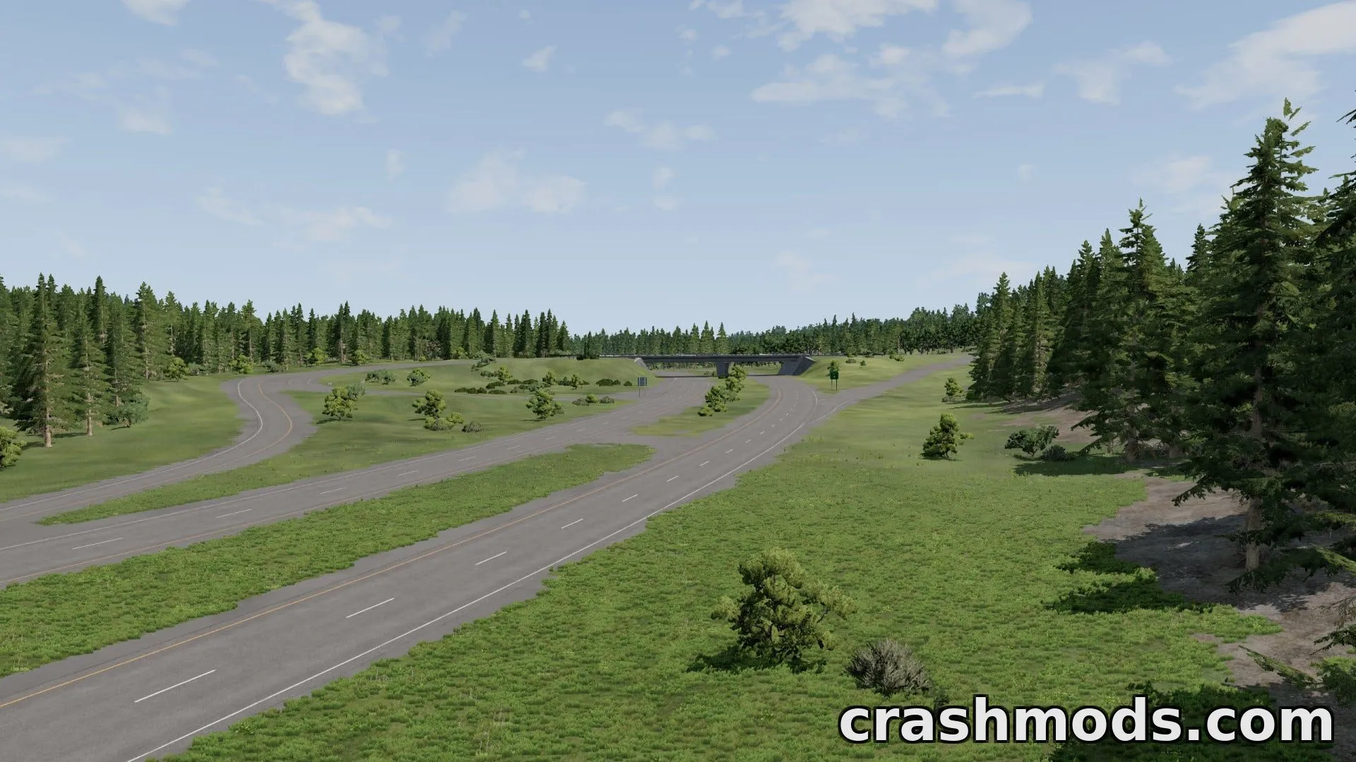
- Two-lane road, left-hand drive, with AI roads and traffic
- Built-in Glory Hole time trial, 24.1 km with bronze/silver/gold medals
- Six named lookouts including Jolly's and Westridge Outlook
- Village areas with cafes, park 'n' ride and gorge car park
- Guardrails, curve signs and chevrons along the whole route
- Flashing speed cameras placed along the road
- Misty morning weather effects and Lake Wivenhoe scenery
- 15 spawn points covering both ends and every speed camera
- Roadworks and local traffic included
This map recreates the Mt Nebo – Mt Glorious tourist drive west of Brisbane, Queensland, using real terrain and road data. The route runs from The Gap Park 'n' Ride over Mt Nebo and Mt Glorious down to Lake Wivenhoe, plus the steeper 'dark side' descent toward Samford.
The terrain and road profile are built from Queensland Government 1 m LiDAR and aerial imagery, with the road line taken from OpenStreetMap, so the climbs, dips and hairpins closely follow the real road. The map includes AI traffic, guardrails, curve signage, flashing speed cameras, lookout points and a built-in time trial called the Glory Hole TT.
It also features local details such as the Mt Nebo village, cafes, the Northbrook Gorge car park, misty morning weather and 15 spawn points scattered along the route, including both ends of the dark side section and every speed camera.
This map suits players who enjoy realistic touring routes, mountain driving, time trials or exploring faithfully recreated Australian roads in freeroam.